National security insights for space professionals. Delivered Tuesdays. |
|
|
|
Welcome to this week's edition of SpaceNews Military, your concise source for the latest developments at the intersection of space and national security. In this issue, we cover:
- Space Force to expand use of commercial geospatial data in military operations - Maxar expands to London, capitalizing on global demand for commercial imagery
If this newsletter was forwarded to you, sign up for free here |
|
|
|
U.S. Space Force's commercial imagery program moves to operational phase
The U.S. Space Force's Tactical Surveillance, Reconnaissance, and Tracking (TacSRT) program is transitioning from a pilot to full operational status, marking a major step in the integration of commercial satellite imagery into military surveillance and reconnaissance operations.
Barbara Golf, U.S. Space Force strategic advisor and head of U.S. Space Command's Joint Commercial Operations cell (JCO), announced the move last week at the AMOS Conference. The JCO, based at Schriever Space Force Base, will take over management of TacSRT, with a focus on tighter coordination with U.S. intelligence agencies to avoid redundant purchases of satellite data. "We don't double buy," Golf said. Formed in 2020, the JCO is an extension of the National Space Defense Center (NSDC) and seeks to strengthen ties between military, intelligence and commercial space operators.
|  |
|
|
|
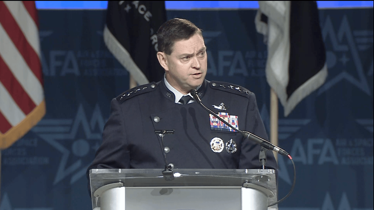
Gen. Chance Saltzman, U.S. Space Force chief of space operations, voiced strong support for TacSRT in remarks last week at the Air, Space & Cyber Conference, citing its success during the U.S. troop withdrawal from Niger. Saltzman highlighted that Space Force units supporting U.S. European and Africa Commands used the program to maintain surveillance, reducing the timeline for delivering critical intelligence to just over an hour. The withdrawal followed the Nigerien junta's decision to revoke the U.S. military presence in the country. Key message from Space Force: TacSRT underscores the military's increasing reliance on commercial capabilities for global surveillance in high-stakes military operations. | | | Commercial satellite imagery industry sees rising demand
Executives from the commercial satellite imagery sector say the industry is experiencing surging demand, driven by growing public and private interest in high-resolution geospatial data. Synthetic aperture radar (SAR) constellations are expanding in response, as executives highlighted during the World Space Business Week conference in Paris. National security and defense organizations remain the primary customers for SAR imagery and data. "From a national security perspective, our systems are used seven days a week, 24 hours a day on a continuous basis," said Capella Space CEO Frank Backes, underscoring the vital role commercial SAR constellations play in defense operations. In related news, Maxar Intelligence, the U.S. government's largest satellite imagery provider, announced the opening of its first international headquarters in London, aimed at capitalizing on the growing global demand for geospatial intelligence. Maxar CEO Dan Smoot said customers see the strategic value of real-time, high-resolution satellite imagery for a range of applications, from national security to mapping. The expansion reflects a broader trend of increasing global interest in geospatial data, with Maxar and other industry players noting rising demand not only for defense purposes but also for environmental monitoring and commercial applications.
|
|
| | |
|
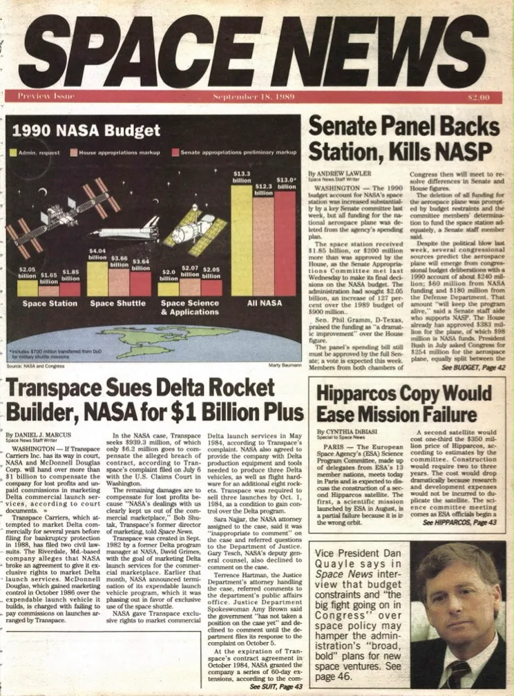
SpaceNews Celebrates 35th Anniversary
SpaceNews has evolved into a digital powerhouse with millions of online readers, multiple newsletters, a print and digital magazine, and over 300,000 social media followers. While reflecting on its rich history, the company is preparing for an exciting future.
|  | | |  | In this episode of the SpaceNews Leading Women in Space series, correspondent Debra Werner speaks with Ronda Schrenk, CEO, United States Geospatial Intelligence Foundation (USGIF). | | |
|
|
|
United Launch Alliance (ULA) is aiming to launch its Vulcan Centaur rocket for its second test flight in October, a key milestone in the rocket's certification process for national security launches.
"I'm definitely looking forward to that second certification flight. But it's not instantaneous that if they have a clean flight, they're automatically certified," said Brig. Gen. Kristin Panzenhagen, the U.S. Space Force's program executive officer for assured access to space.
The Cert-2 mission will be the second of two flights required for the U.S. Space Force to certify Vulcan Centaur for launching sensitive national security payloads. The first flight, Cert-1, launched on January 8, successfully deploying Astrobotic's Peregrine lunar lander. |
|
|
|
 |
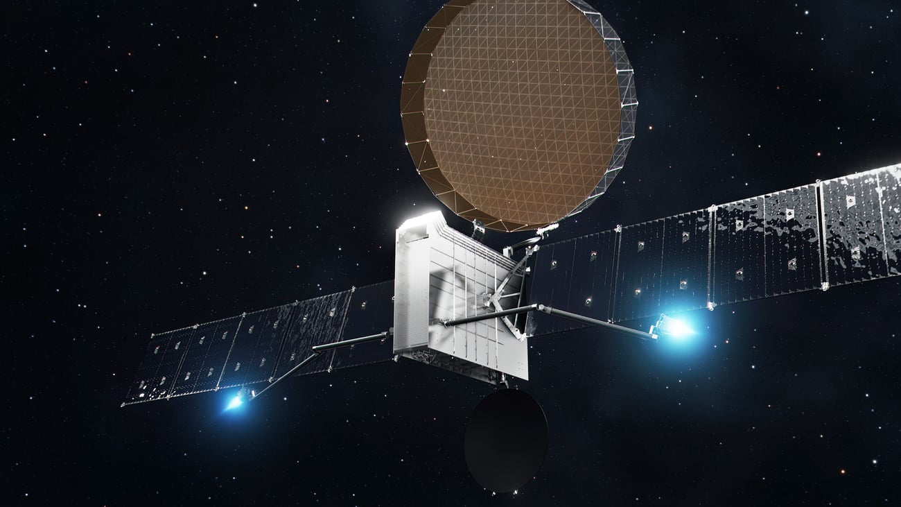
Satellite communications startup Astranis won a $13.2 million contract to make its communications satellites compatible with military terminals.
The San Francisco-based firm, which builds small geostationary satellites for internet connectivity, received the contract through a Strategic Funding Increase (STRATFI) agreement. This type of agreement is used by the military to help small businesses transition technologies from research and development to production.
| | | Boeing plans to demonstrate sensor fusion technology that could enhance military situational awareness by combining data from airborne and space-based sensors.
This fusion of sensor data could be delivered to operators on the ground or in cockpits, said Kay Sears, vice president and general manager of Boeing Space, Intelligence & Weapon Systems.
The plan is to leverage data from the E-7 command-and-control aircraft and from missile-tracking satellites being developed by Boeing's subsidiary, Millennium Space. | | |  | Elevate your company's visibility by targeting our audience through our premier press release service, Stellar Dispatch. Publish your company's press release with Stellar Dispatch today. | | |
|
|
|
|
No comments:
Post a Comment